
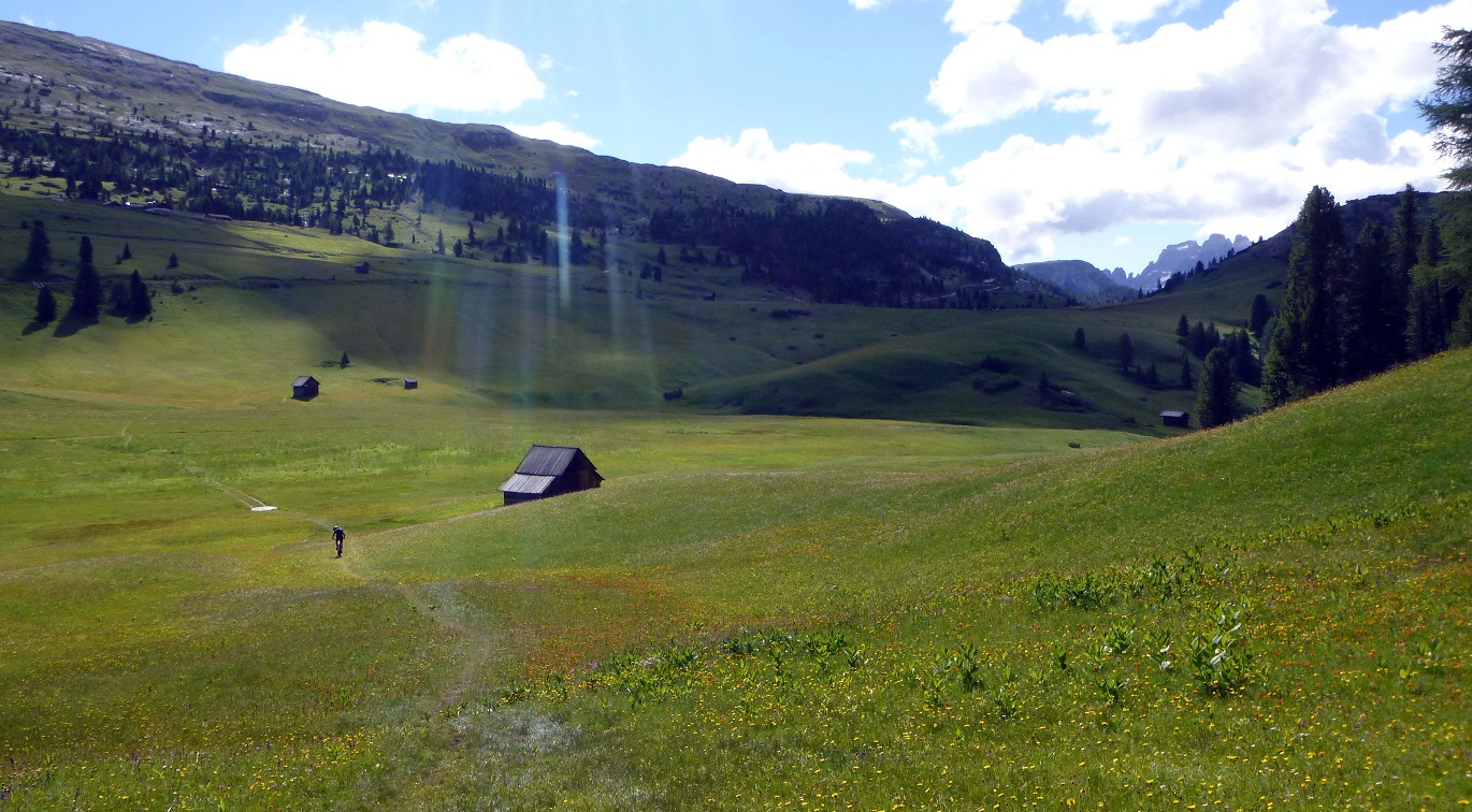
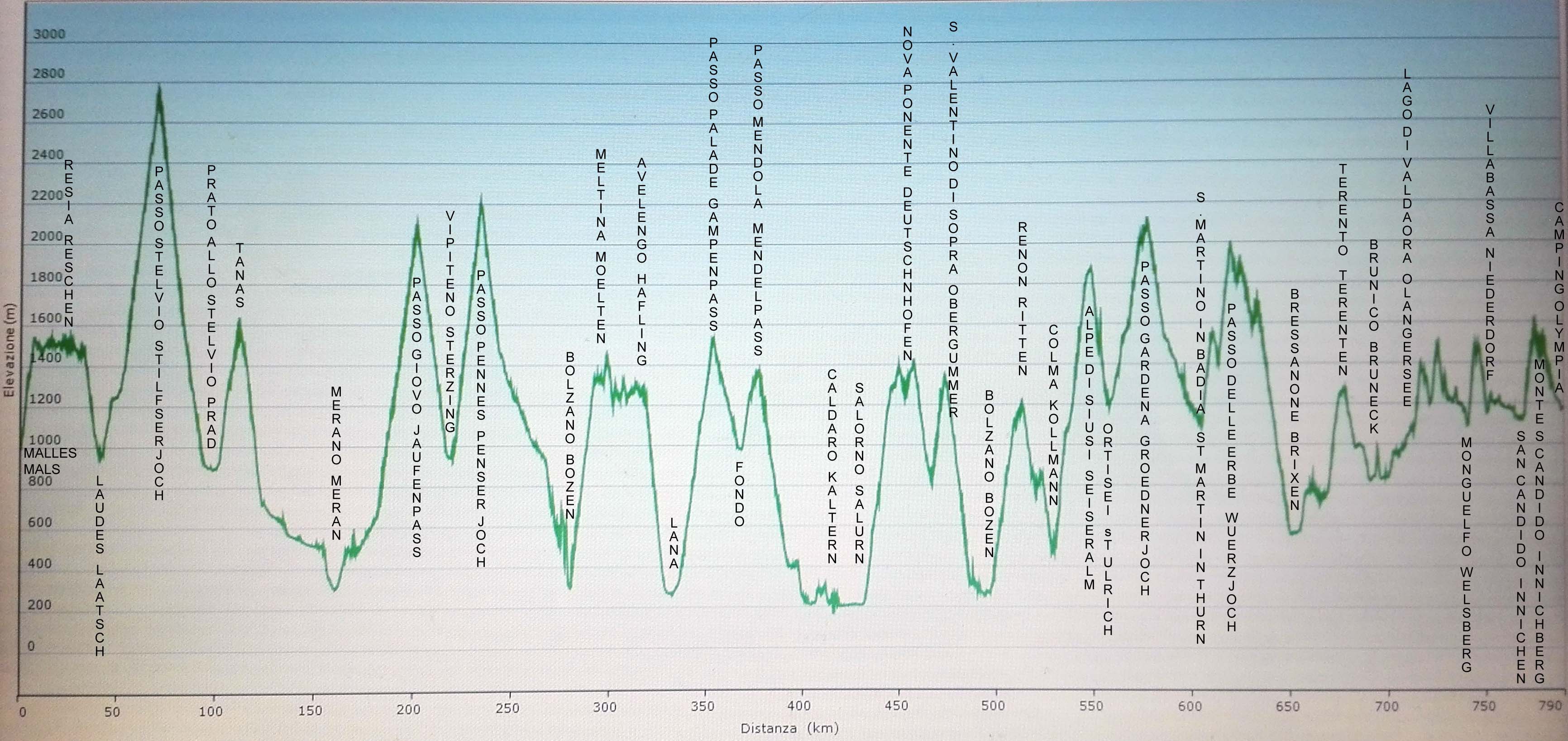
MTB TRAIL
480 km / 12000 d+

The trail was designed to combine the best parts of the most fun trails and the best views South Tyrol. Whenever it’s no longer possible to follow the trails, we bike over forest tracks immersed in thick woods or along rivers or lakes. Otherwise we proceed along extensive cycling paths or minor roads.
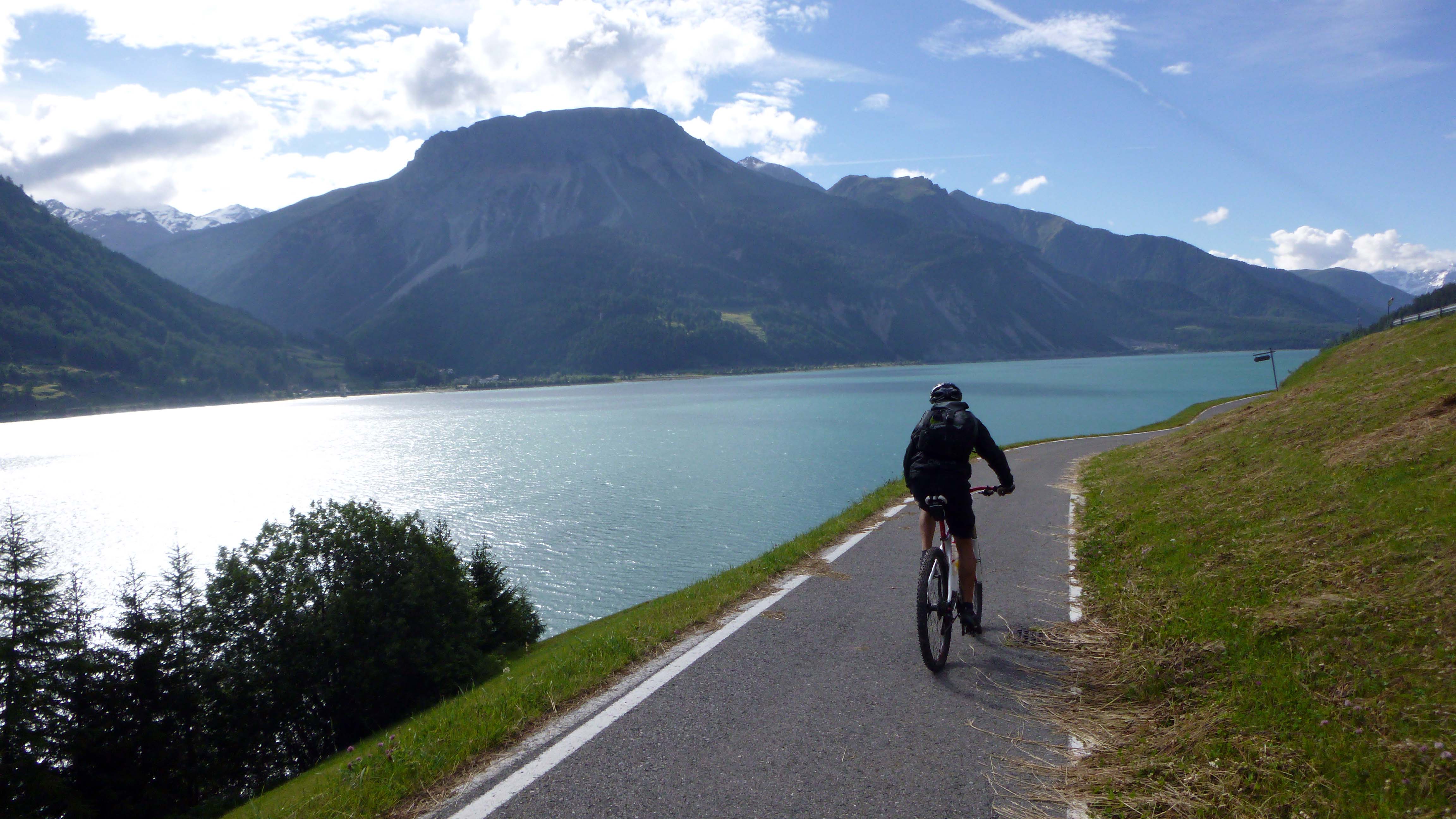
GRAVEL TRAIL
390 km / 6000 d+
This trail is much smoother than the previous one and follows forest tracks, dirt roads, off-road bike trails and tarred bike trails.

ROAD TRAIL
260 KM 2000 d+

It runs almost entirely over tarred bike paths, with a few off-road stretches. It is ideal for racing bikes or families with city bikes or e-bikes.
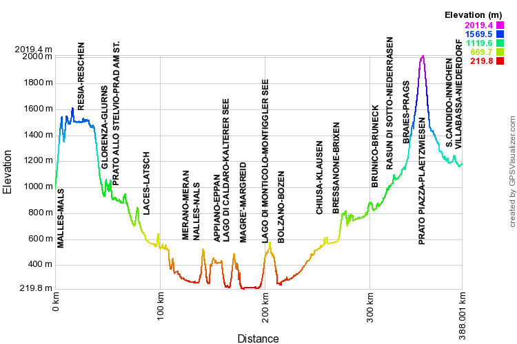
MTB EXTREME TRAIL
630 KM 22000 d+
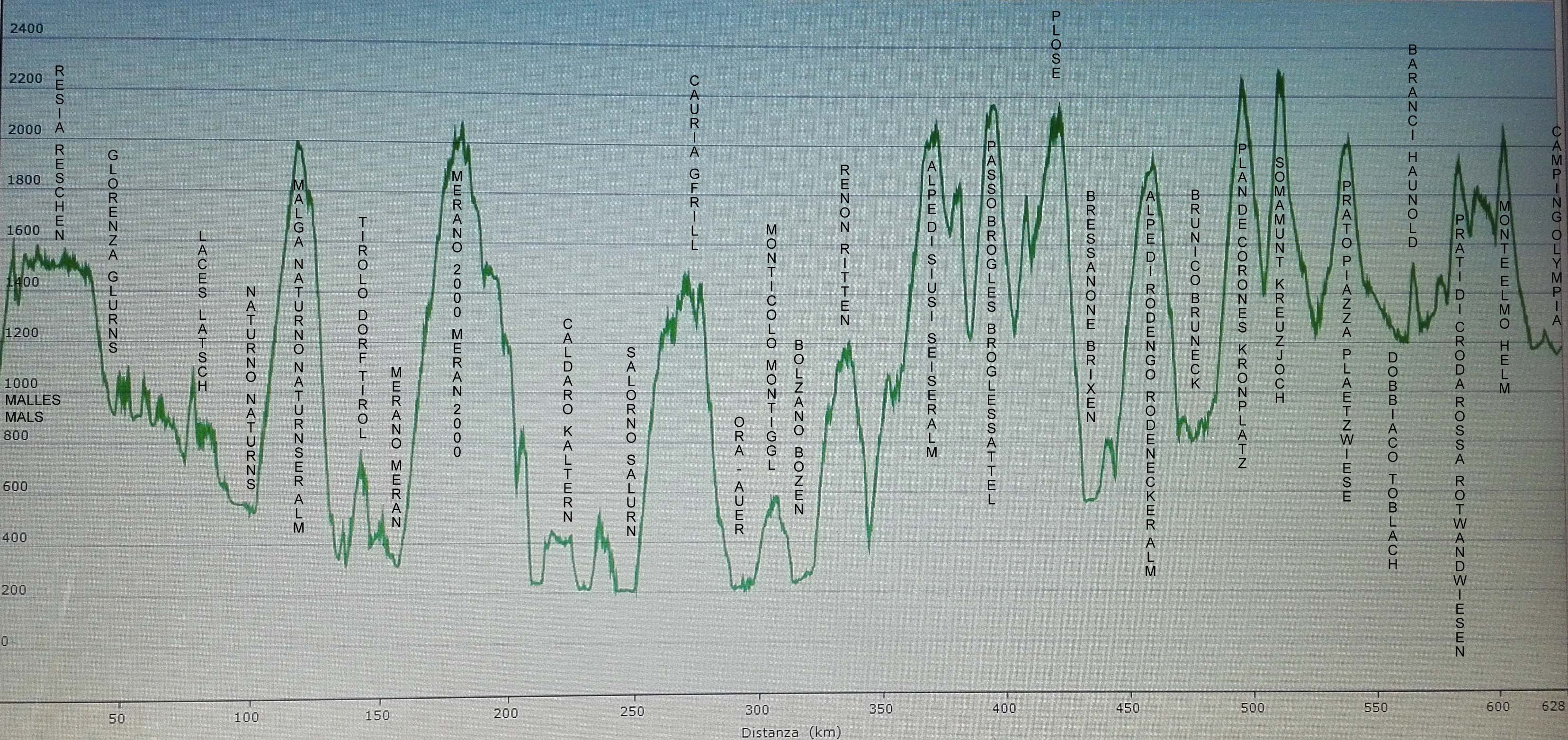
ROAD EXTREME TRAIL
790 KM 24000 d+
![]()
![]()